#33 MARTIAN TERRAIN
Eastern Valles Marineris Bedrock Stratigraphy and Falling Dunes.

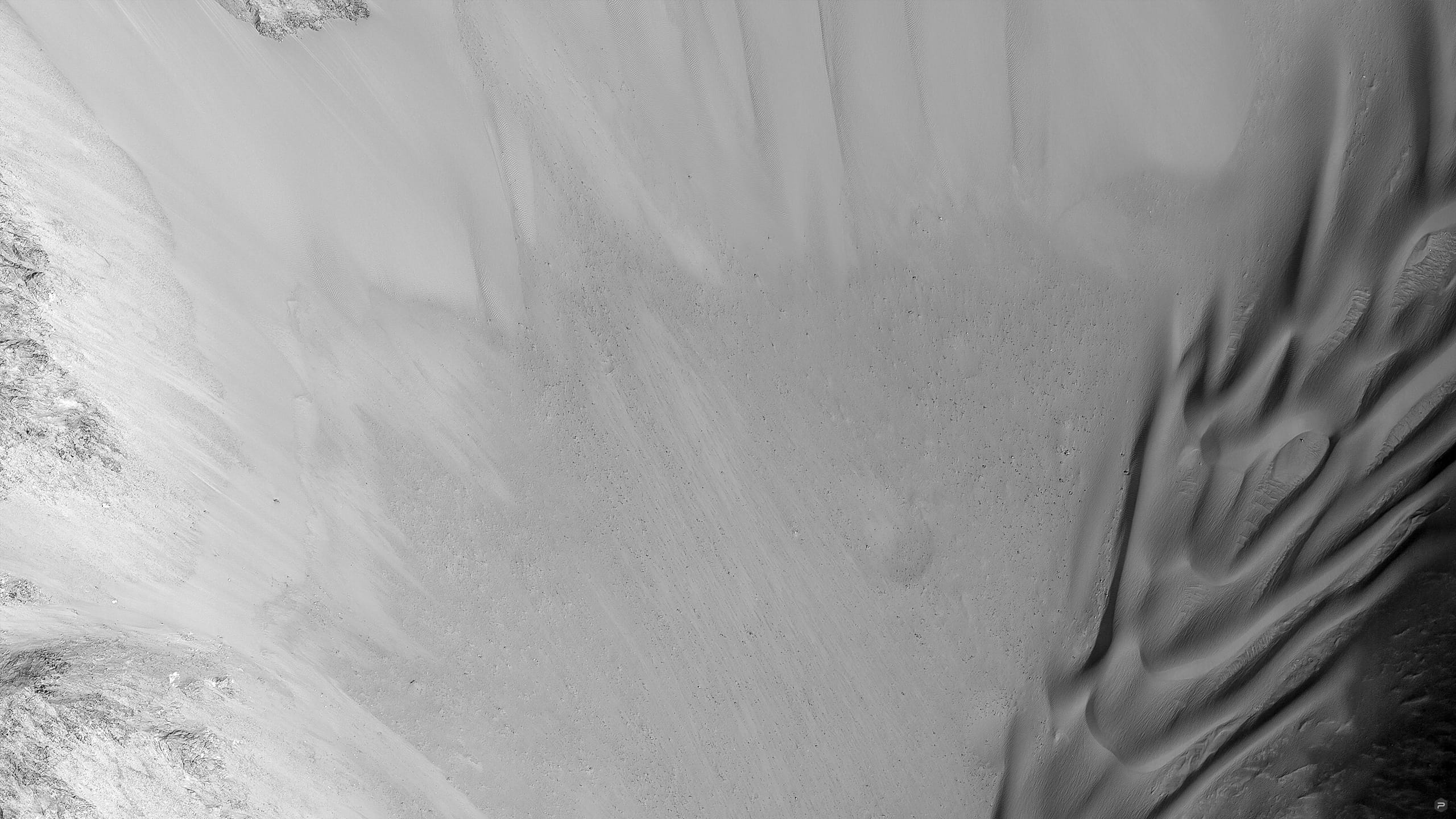
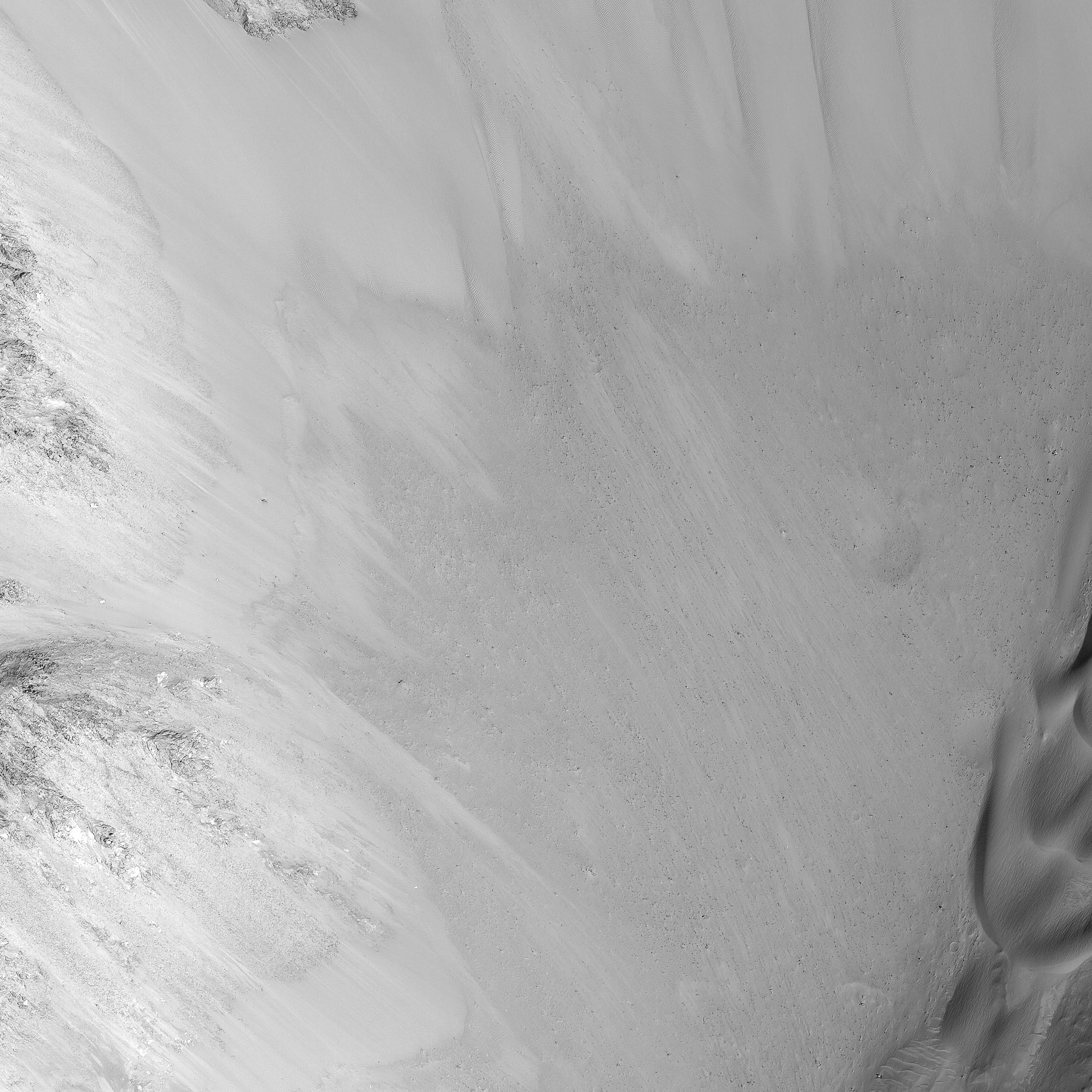
This image shows a transect of approximately 8-kilometers of Coprates Chasma wall stratigraphy, which includes (moving down sequence): the southern plateau, wall spurs, fans of eroded material, gullies, sand dunes, and canyon floor.
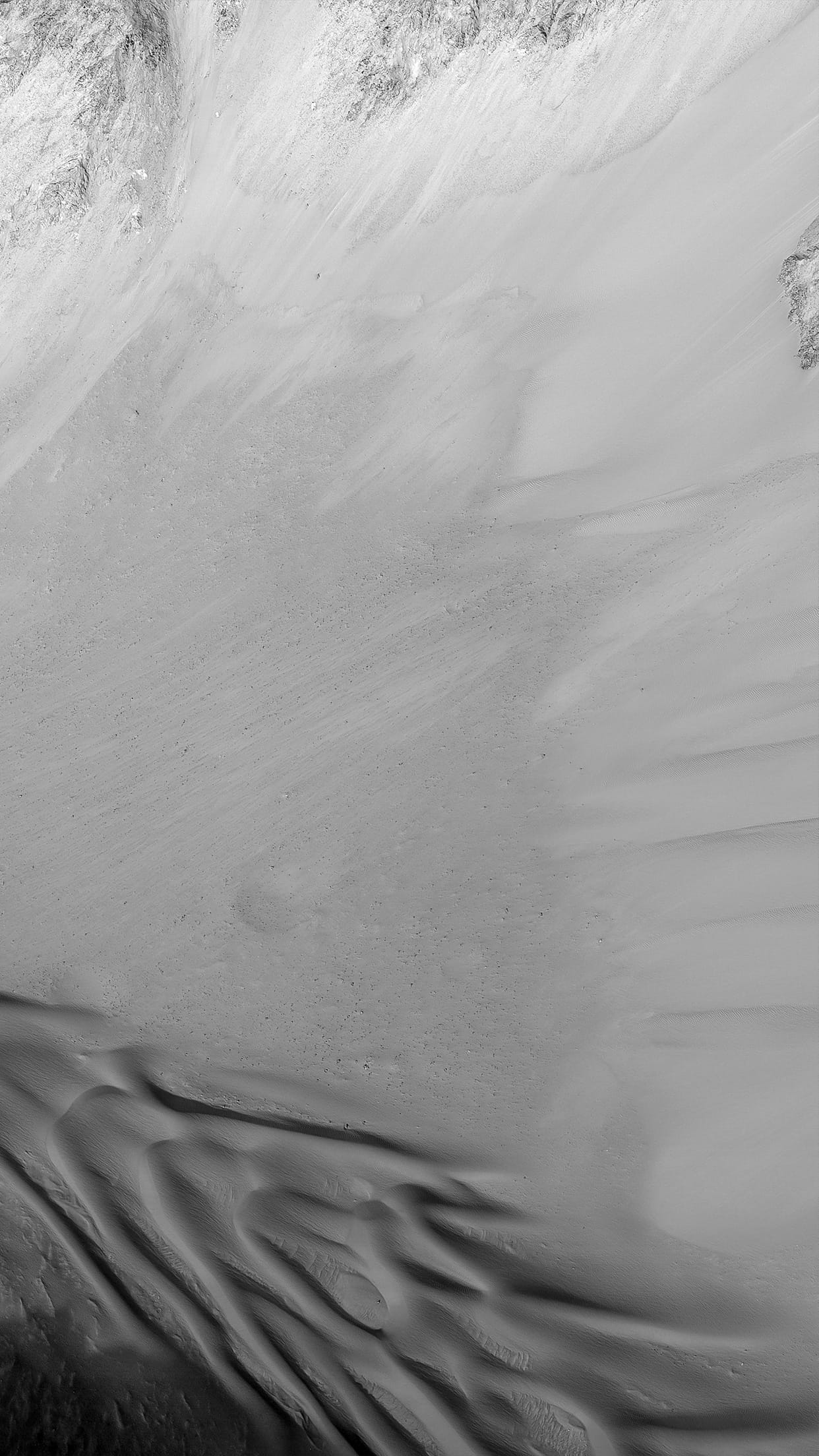
Dunes located in the center left show slip faces on the downhill side and aligned with the local gradient, indicating down slope transport (see subimage, white arrow). These "falling dunes" are a type of topographically-controlled sand dune that formed when down-slope winds were focused by the gully topography. Although rare across Mars, eastern Coprates Chasma has an abundance of these falling dunes, particularly on north-facing walls.
As with all dunes, wind regime, sediment supply, topography, and climate are all important factors in where dunes form and persist. An abundant sand supply from local wall layer and persistent down-slope winds are likely contributors to why these dunes are so common here.
Note: the above image (and the subimage) are non map-projected, so North is approximately down).
Also take a look at the digital terrain map made with this image pair.
Written by: Matthew Chojnacki